The monitoring shows no risk of major, imminent landslides or dangerous wave run-up in inhabited areas.
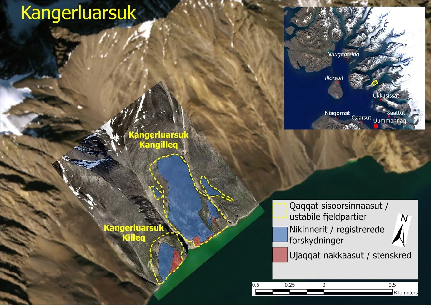
Spontaneous minor landslides may occur in the unstable mountain slopes marked in red in Figures 1 and 2. Staying near the areas marked in red is discouraged, both on land and at sea.
Summary of Monitoring Data for the Past Month
Observed rockfalls and movements on the monitored sites are shown as colored areas in Figures 1 and 2 below. Blue areas indicate ongoing sliding movement, while red areas mark locations where rockfalls have occurred repeatedly in recent times.
As the number of days with above-freezing temperatures increases heading into summer, thawing and increased activity can be expected and is part of the seasonal variations.
Umiammakku Nunaat
Monitoring data continue to show activity in the monitored sites at Umiammakku Nunaat as rockfalls and constant movements.
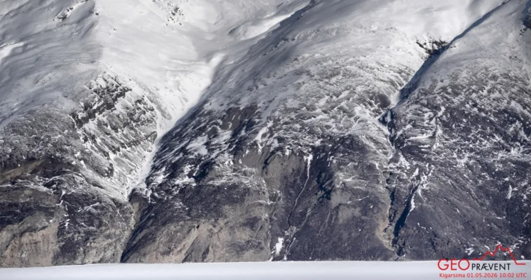
At Umiammakku Nunaat 1, 2, and 3, at the backscarp of the 2017 landslide, and on 2017 Kangilleq east of the landslide, frequent rockfalls and sliding deformation continue to be observed, as in previous months (see Figure 1). In particular, increased activity has been observed at the backscarp of the 2017 landslide over the past month.
Kangerluarsuk
Slow and persistent displacements continue to be recorded by GNSS stations in “Kangerluarsuk Kangilleq.” In the coastal part of the slope at Kangerluarsuk, a small, rapidly moving landslide mass has been developing over the past few weeks. It cannot be ruled out that the whole compartment will slide into the fjord from this area. This is not considered to pose danger to inhabited areas, but it may cause local flooding in the Kangerluarsuk area.
Nyt onlinekort
The Landslide Group has launched an interactive map showing coastal areas where unstable slopes have been identified or landslides have been recorded. The purpose of the online map is to share new information with the public on an ongoing basis. It will therefore be updated as new information becomes available. The map is available via the following link: https://arcg.is/1P8Dfi2